


6.3 Kalamaki- Kapetaniana- Kalamaki | 77 km | 1.906 vertical meters | Category 2
77 km | 1.906 vertical meters | Category 2

There’s a race of men that don’t fit in,
A race that can’t stay still;
So they break the hearts of kith and kin,
And they roam the world at will.
They range the field and the rove the flood,
And they climb the mountains crest;
Theirs is the curse of the gypsy blood,
And they don’t know how to rest.
[Robert William Service, The Spell of the Yukon, and Other Verses (1911)]

This is serious! This is training. Plains and mountains as well as interval training on hilly and increasingly steep terrain are the determining elements. The first part is a fast ride through the Messara plain, we run in quickly and with ease. After ten kilometres, intensive interval training is on the agenda – on a varied and winding route to Loukia via the villages of Pombia, Alithini, Peri, Platanos, Plora, Flathiakes, and Vasiliki. The route features short, then increasingly longer ascents on a hilly route, and short, fast descents through green, blooming maquis and olive groves. On this 20 kilometre interval section, we cover an elevation gain of approx. 500 vertical metres with an incline of up to 8% and a difference in altitude of 200 metres between start and finish.
Then, for some eight kilometres, a difference in altitude of 650 metres, with an average gradient of 8%, the big ascent into the barren Asteroussia mountains, all the way to the pass at 830 metres above the mountain village of Kapetaniana, follows. On the slopes, we have to manage gradients of up to 17%.

Through the Messara: Our starting point is the beach village of Kalamaki, a little buffeted by the wind, with a handful of small B&Bs and apartment blocks, a few supermarkets, car rental firms and a number of recommended taverns along the seaside promenade. It looks out to miles and miles of sandy beach, excellent for bathing and swimming. Situated to the east is the fantastic but unfrequented sandy beach of Kommos, home to the excavation site of the ancient port of Festos. Further east, you’ll find the village of Matala. Kalamaki is an ideal base for swimmers, runners and cyclists, as well as for tours to the Ida Mountains, to Spili in the west or for climbing with your bike in the Asteroussia Mountains around Kali Limenes, Lendas, and Kapetaniana in the east.

From Kalamaki, the route proceeds uphill for three and a half kilometres, across several small hills, until you reach the picturesque village of Kamilari at 110 metres above sea level via a last short and steep ascent of 15%. Kamilari is a typical agricultural Cretan village. On the way through the winding alleys, past old stone houses adorned with bougainvillea and vine, you’ll find the way to the Kafeunion in the centre of town, where you can enjoy a Greek coffee or a glass of chilled Cretan country wine in a typical Cretan ambience. (In spring), the snow-covered peaks of Mount Ida flash up in the distance.
In Kamilari, turn right and take the two large bends leading down to the main road coming from Matala. Turn left and ride through the Messara plain to Pombia and towards the east. With a length of 40 kilometres and a width of about eight kilometres, the plain is Crete’s largest growing area for crops and vegetables. Shielded from the Libyan Sea by the Asteroussia Mountains in the south, the plain extends from here to the foothills of the Dikti Mountains in the east.

The villages on the slopes send out a white glow, and their houses are adorned with bougainvillea and vine. Yellow and white broom and cistus bloom along the way, and in the gardens, flowers of spring such as lilies, anemones, chrysanthemums and poppies, sparkle among a variety of fruit trees and berry bushes. There is a smell of honey, tobacco and lemons.
1. Now we go for a fast 6.5 kilometre ride through the Messara plain until the road branches off towards Pombia. Turn right here into the gradient of the 1st interval: Seated and standing on a hill, you climb for three kilometres and 150 metres in altitude with a maximum gradient of up to 5%. In the village of Pombia turn left at the first big crossroads towards Alithini and Peri.

2. Take the short descent through the village of Peri, then follow the sharp right turn into the 2nd interval: Cover five kilometres featuring a moderate gradient and 100 metres of altitude difference. This is a workout at constantly high speed which means steady pedalling, high resistance and a mountain sprint with a gradient of 7% up to Plora.
3. Next is a short descent into the 3rd interval: Cover six kilometres and 200 vertical metres going constantly uphill at gradients of up to 8% via Flathiakes to Kandila.
4. Recovery: On the hilly three kilometre ride through the Messara and in the direction of Loukia via Vasiliki, you can now draw strength for the ascent to the mountain village of Kapetanaina.

5. Mountain: Depending on the riding situation in the steep serpentines, the mountain route means that you will switch from powerful climbing (standing on a hill) at high energy and under constantly high load, to constant even pedalling against high resistance (when seated) on the straight passages. The ascent to Kapetaniana is 8.0 kilometres and 600 metres in altitude. The average gradient is 8%, with a maximum of 17% on the ramps.
Going across the pass at an altitude of 830 metres, you’ll reach the upper part of the village of Kapetaniana and the end of the asphalt road. Between the rocks, you can see the ocean shimmering from the depths, and in the west you can spot the highest mountain of the Asteroussia Mountains, Mount Kofinas (1.231 metres).

For a hike to the summit of Mt. Kofinas, take the gravel path from the plateau (above the village of Kapetanias) to the first turnoff. Turn left here and take the upper path, then head northeast until you reach the next Y-junction in the small valley. Turn right and take the lower path to the east. After another four kilometres, north of Mount Kofina, leave the path and turn right. Head south and climb up to the saddle with the small chapel just below Mount Kofina. In the pathless area surrounding Mount Kofina, proceed across the rocky passage for about 100 metres heights to reach the summit. The hike to the summit is about six kilometres and a total of 450 meters in altitude are to be masteredthe. The round trip (12 km) takes about 5 hours. Go for the adventure.

Kapetaniana comprises a higher and a lower part of the village. The houses on the hillside are connected by steep paths and steps. In order to visit Kapetaniana, you need to go back from the plateau above the village in the direction of the pass. Turn left after some 200 metres, and dash down the steep asphalt road leading to the village.
6. Downhill: On a winding eight-kilometre route we now descend to the Messara plain. Dive into the strange, deserted rocky desert of the Eocene Pindos Flysch where the sandstone, limestone and slate of the Pindos nappe have been exposed to major tectonic stress. The slopes are sparsely covered with phrygana. Now and then, you’ll spot burnet saxifrage (Sarcopoterium spinosum), sea onion (Urgibea maritima), the odd yellow kidney vetch (Anthyllis hermanniae), the ball-shaped shrubs of storny spurge (Euphorbia acanthothamnos), the yellow buds of Jerusalem sage (Phlomis Ianata), and, further down, a few meagre kermes oaks (Quercus coccifera).

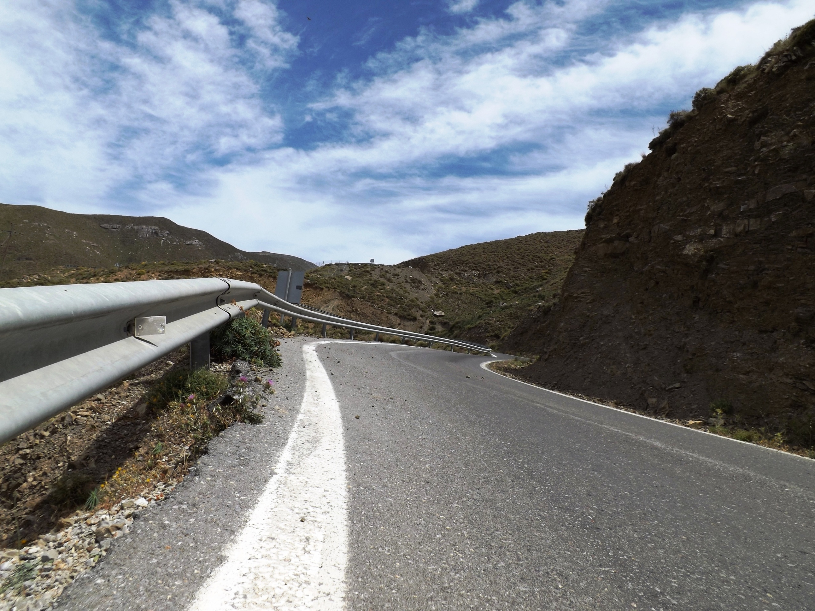
This note is only relevant if your speed on this technically demanding descent does not correspond with one of the many bends that become increasingly narrow, putting you at risk of hitting the stony ground at high speed. If things go well, the thorny bushes will slow you down, because after two kilometres the wide blue ribbon of the road turns into a dangerous mountain crest. In order to keep your balance on the ridge, your cornering technique and pedal position will require the agility of a cat. At a rapid pace, you drift through the successive serpentines, always prepared for the perfect downhill line to be suddenly obstructed by scree and larger stones on the road.
I recommend that you take the shorter route from Loukia via Vagionia for the return journey. From the village of Flathiakes we use the same route through the Messara to return to Kalamaki.


7. Strength and Endurance: According to the route profile, the journey through the Messara plain goes downhill, but you actually go uphill and downhill, as it features frequent short climbs, and the prevailing strong headwinds provides strong resistance, so that even crank rotation will definitely take you to your limit. To manage the last 20 kilometres from Flathiakes to the final climb to reach Kamilari, you’ll need to apply all your mental and physical strength again.
After climbing the last bends leading uphill to Kamilari, the final 3.5 kilometres to Kalamaki are a fast, rewarding downhill ride towards the great blue expanse of the Libyan Sea.